

Weather alert upgraded to snowfall warning
Central, northern areas of New Brunswick now forecast to get as much as 25 cm Thursday
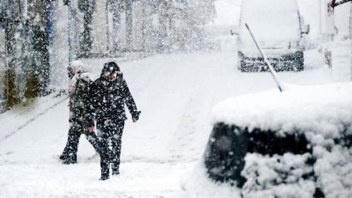
Even more snow than was originally expected for parts of New Brunswick on Thursday is in the forecast, according to Environment and Climate Change Canada’s weather service.
The federal weather service issued a special weather statement Monday, advising of as much as 15 centimetres of snow for most parts of New Brunswick except the southern coast.
But in the early-morning hours of Tuesday, Environment and Climate Change Canada upgraded that advisory to a snowfall warning for Thursday.
“Snowfall with total amounts of 15 to 25 cm is expected,” the new alert said..
“Snowfall rates of two to four cm per hour may occur over some locations. Snow is expected to mix with ice pellets Thursday afternoon and evening over Queens, Sunbury, and southern York counties.”
The snowfall warning is in effect for central and northern New Brunswick, and the snow is expected from Thursday morning until Thursday night.
“Be prepared to adjust your driving with changing road conditions,” the warning stated. “Take frequent breaks and avoid strain when clearing snow.”
Saint John, the southern shore, the Moncton area and southeastern areas of the province are subject to a special weather statement, calling for 15 cm for those parts of New Brunswick.
The Fredericton Independent can be reached by email here.